
Cemeteries are often known by multiple names. The following list includes all the cemetery names that are currently known in Fort Bend County. They are designated by Main Name and State No., FB-C(XXX), or Alternate Name.
Most cemeteries are not associated with a conventional street address, however we have provided maps and coordinates to their respective locations.
For a map of Fort Bend County showing all the known cemeteries, please visit http://fbcgis.maps.arcgis.com/apps/OnePane/basicviewer/index.html?appid=8ba7b396b1404e908956f57e29a4334f.
If you have any specific information or questions regarding these cemeteries, please email Cemeteries@fortbendcountytx.gov.
Thompson's Chapel Cemetery | FB-C125
Main Name: Thompson's Chapel Cemetery | FB-C125
Alternate Names: None
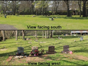
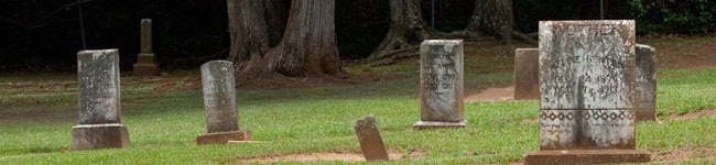
Photo Taken Date: 2016
Access: There is public access to the cemetery.
Location: McVey Street, Sugar Land
NAD83 Coordinates: 29 35.443 N, 95 41.215 W
Map Coordinates: 29.59072, -95.68692
History: Burial List [PDF]
Status and Other Information: The cemetery status is active. The cemetery is not affiliated with any organizations and has no primary ethnicity. The size of the cemetery is 1.20 acres. The number of known burials is 49 and the date of the earliest burial is 05/18/1935.
7 of 339 record(s) found.