 |
 |
| Photos Taken Date: 2010 | |
|
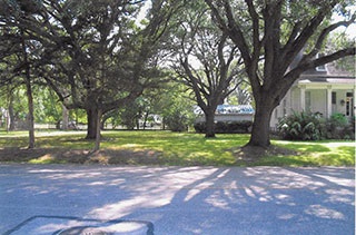
Main Name: Fulshear Black Cemetery | FB-C041 Alternate Name: Fulshear Cemetery Access: Public Location: FM-1093, Fulshear NAD83 Coordinates: 29 41.298 N, 95 54.271 W Map Coordinates: 29.688300, -95.904517 |
History: Fulshear Black Cemetery | FB-C041 [PDF] Site Plan: |
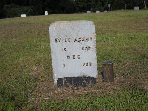
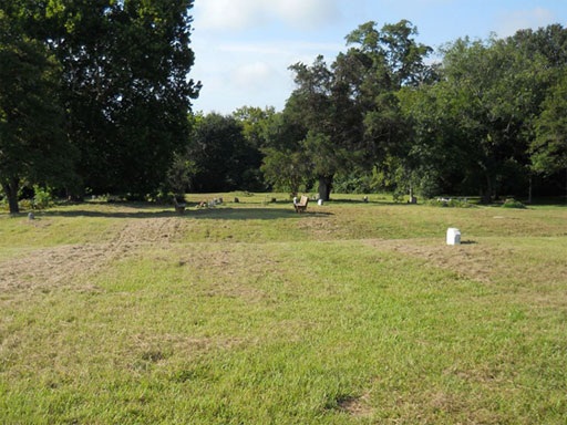
Status and Other Information: The cemetery status is active and it has a Historical Marker. The cemetery is not affiliated with any organizations and the ethnicity is primarily Afro-American. The size of the cemetery is 3.08 acres. The number of known burials is 87 and the date of the earliest burial is 08/20/1932.
View Fulshear Black Cemetery - FB-C041 in a larger map