Photo Taken Date: May 1993
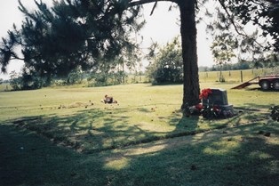
Main Name: Guy Public Cemetery | FB-C144
Alternate Names:
- Old Guy Cemetery
- Prairie Mound Cemetery
Access: Public
Location: Fm 1964, Guy
NAD83 Coordinates: 29 21.979 N, 95 45.581 W
Map Coordinates: 29.36632,-95.75968
Status and Other Information: The cemetery status is active. The cemetery is not affiliated with any organizations and the ethnicity is primarily Anglo. The size of the cemetery is 4.0 acres. The number of known burials is 350 and the date of the earliest burial is 1900.
View Guy Public Cemetery | FB-C144 in a larger map