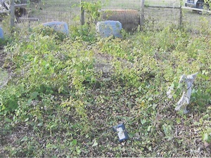
Main Name: Stratman Family Cemetery | FB-C123
Alternate Names:
- Stratman Cemetery
Access: Access to the cemetery is via PRIVATE property. Permission from the land owner MUST be obtained prior to visiting the cemetery.
Location: Bar Road, Rosenberg
NAD83 Coordinates: 29 36.013 N, 95 52.039 W
Map Coordinates: 29.60021, -95.86732
Status and Other Information: The cemetery status is active. The cemetery is affiliated with a family organization and the ethnicity is primarily Anglo. The size of the cemetery is 0.01 acre. The number of known burials is 7 and the date of the earliest burial is 1919.
View Stratman Family Cemetery | FB-C123 in a larger map