Photo Taken Date: 2016
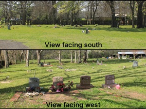
Main Name: Thompson’s Chapel Cemetery | FB-C125
Alternate Names:
- None
Access: There is public access to the cemetery.
Location: McVey Street, Sugar Land
NAD83 Coordinates: 29 35.443 N, 95 41.215 W
Map Coordinates: 29.59072, -95.68692
History: Burial List [PDF]
Status and Other Information: The cemetery status is active. The cemetery is not affiliated with any organizations and has no primary ethnicity. The size of the cemetery is 1.20 acres. The number of known burials is 49 and the date of the earliest burial is 05/18/1935.
View Thompson’s Chapel Cemetery | FB-C125 in a larger map