Photo Taken Date:2010
Main Name: Watts Cemetery | FB-C130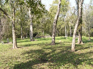
Alternate Name: Watts Plantation Cemetery
Access: Public
Location: Watts Plantation Rd, Missouri City
NAD83 Coordinates: 29 31.598 N, Longitude: 95 30.949 W
Map Coordinates: 29.52663,-95.51582
Status and Other Information: The cemetery status is active. The cemetery is not affiliated with any organizations and has no primary ethnicity. The size of the cemetery is unknown. The number of known burials is 66 and the date of the earliest burial is 01/28/1862.
View Watts - FB-C130 in a larger map