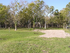
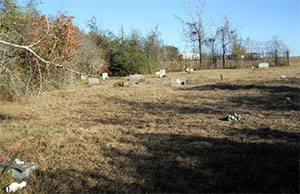
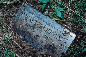
Photo Taken Date: 2017
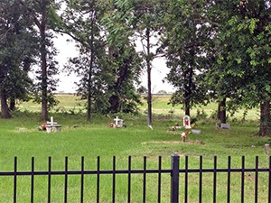
Main Name: Antioch Community Cemetery | FB-C122
Alternate Names:
- Katy Community Cemetery
- Stockdick Cemetery
Access: There is public access to the cemetery.
Location: Stockdick Rd, Katy
NAD83 Coordinates: 29° 46' 43.68'' N, 95° 49' 48.046'' W
Map Coordinates: 29.7788, -95.830013
Status and Other Information: The cemetery status is active. The cemetery is not affiliated with any organizations and the ethnicity is mixed. The size of the cemetery is 0.73 acres. The number of known burials is 89 and the date of the earliest burial is 02/28/1963.
View Antioch Community Cemetery | FB-C122 in a larger map