Photo Taken Date: 2013
Main Name: Lawson Family Cemetery | FB-C157
Alternate Names:None
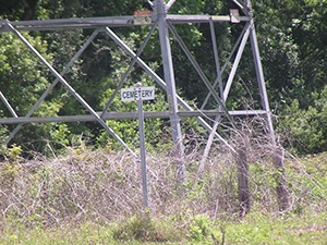
Cemetery access: Cemetery access is via PRIVATE property. Permission from the land owner MUST be obtained prior to visiting the cemetery.
Location:Near Scanlan Rd, Arcola
NAD83 Coordinates: 29 29.225 N, 95 30.077 W
Map Coordinates:29.48708, -95.50128
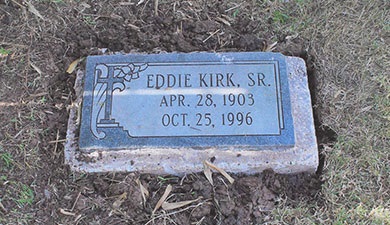
Status and Other Information: The cemetery status is inactive. The cemetery is not affiliated with any organizations and the ethnicity is primarily Afro-American. The size of the cemetery is unknown. The number of known burials is 2 and the date of the earliest burial is 1953.
History: Work In Progress