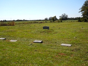
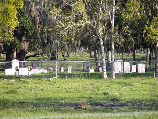
Arcola Community Cemetery

Main Name: Community Cemetery, Arcola | FB-C057

Alternate Names:

  • Arcola Community Cemetery
  • Sienna Plantation Cemetery

Access: Cemetery access is via PRIVATE property.  Permission from the land owner MUST be obtained prior to visiting the cemetery.

Location: Near Scanlan Rd, Arcola

NAD83 Coordinates: 29 28.687 N, 95 29.182 W

Map Coordinates: 29.478117, -95.486367

Status and Other Information: The cemetery status is inactive.  The cemetery is affiliated with a religious organization and has no primary ethnicity.  The size of the cemetery is 1.75 acres.  The number of known burials is 3 and the date of the earliest burial is 1921.


View Community Cemetery, Arcola - FB-C057 in a larger map


Antioch Community Cemetery | FB-C122

Photo Taken Date: 2017

Antioch Community Cemetery | FB-C122

Main Name: Antioch Community Cemetery | FB-C122

Alternate Names:

  • Katy Community Cemetery
  • Stockdick Cemetery

Access: There is public access to the cemetery.

Location: Stockdick Rd, Katy

NAD83 Coordinates: 29 46.718 N, 95 49.803 W

Map Coordinates: 29.77863, -95.83005

Status and Other Information: The cemetery status is active. The cemetery is not affiliated with any organizations and the ethnicity is mixed. The size of the cemetery is 0.73 acres. The number of known burials is 14 and the date of the earliest burial is 02/28/1963.


View Antioch Community Cemetery | FB-C122 in a larger map


Andrews League Cemetery | FB-C027

Main Name: Andrews League Cemetery | FB-C027

Alternate Name: McKenzie Cemetery

Access: Cemetery access is via PRIVATE property. Permission from the land owner MUST be obtained prior to visiting the cemetery.

Location: Huntington Oaks Subdivision, Rosenberg

NAD83 Coordinates: 29 39.521 N, 95 48.390 W

Map Coordinates: 29.658683, -95.806500

Status and Other Information: The cemetery status is inactive. The cemetery is not affiliated with any organizations and the ethnicity is primarily Afro-American. The size of the cemetery is 1.32 acres. The number of known burials is 24 and the date of the earliest burial is 02/01/1888.


View Andrews League Cemetery - FB-C027 in a larger map

Adams Cemetery

Main Name: Stafford Family Cemetery | FB-C119

Alternate Names:   

  • Adams Cemetery
  • Stafford Cemetery
  • William J. Stafford Cemetery
  • William J. Stafford Family Cemetery

Access: Access to the cemetery is via PRIVATE property. Permission from the land owner MUST be obtained prior to visiting the cemetery.

Location: Avenue E, Stafford

NAD83 Coordinates: 29 36.361 N, 95 35.163 W

Map Coordinates: 29.606017, -95.586050

Status and Other Information: The cemetery status is inactive. The cemetery is not affiliated with any organizations and the ethnicity is primarily Anglo. The size of the cemetery is 0.7 acre. The number of known burials is 5 and the date of the earliest burial is unknown.

View Stafford Family Cemetery | FB-C119 in a larger map

2015 Commissioner of Year

2014 Commissioner of the Year

Historical Commission Oral History Committee chair Jane M. Goodsill receives the 2015 Commissioner of the Year plaque from Historical Commission chair Chuck Kelly at the February 2015 organizational meeting.

Goodsill's committee had a banner year both in collecting oral histories and in completing their transcriptions, editing and approval.

2015 Bert E. Bleil Heritage Award Recipient

Wolfram M. Von-Maszewski

Wolfram M. Von-Maszewski holds the 2015 trophy symbolizing the Historical Commission's annual Bert E. Bleil Heritage Award.

At left is Joyce Kennerly, who gave the presentation speech, and at right is Historical Commission chair Chuck Kelly. This year's event took place March 3 at Safari Texas.

Main Street Program at Historical Commission Meeting

Daniel Kelleher, Renee Butler, Chuck Kelly

Speaking at the August quarterly meeting of the Fort Bend County Historical Commission were City of Rosenberg Main Street executive Daniel Kelleher (left) and Main Street board chair Renee Butler, who owns Another Time Soda Fountain. The pair explained how the recently-initiated program functions to revitalize core commercial and residential sections of cities, and what's in store for Rosenberg. At right is historical commission chair Chuck Kelly. Next full-membership meeting of the commission is scheduled for November 17, 2015.

Richmond Church Unveils Historical Marker

Richmond Church Unveils Historical Marker

Fort Bend County Historical Commission members are among those shown celebrating the October 4 unveiling of a historical marker honoring the Church of the Living God, Pillar and Ground of Faith, at 400 Travis St. in Richmond.

Pictured are, from left, CHC Archives Committee chair Chris Godbold, Secretary Don Brady, Richmond City Manager Terri Vela, church member Annie Sherman (seated), Chairman Chuck Kelly, Vice Chairman Tim Cumings, Markers Committee chair Bettye Anhaiser and CHC member and Rosenberg City Council member William Benton. Photo by Wayne Kelley.


Thank You Friends
2016 Heritage Award Winner

2016 Heritage Award

John W. Walker, left, received the 2016 Bert E. Bleil Heritage Award for his contributions to Fort Bend County historical preservation. With Walker are (center) Fort Bend County Historical Commission chair Charles Kelly and commission member Bob Crosser, who nominated Walker for the award. The award program and reception, conducted annually by the county historical commission, took place at Safari Texas on March 1.

Photo is courtesy of Shereen Sampson.

Subscribe to Historical Commission