Photo Taken Date: 2009
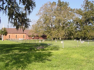
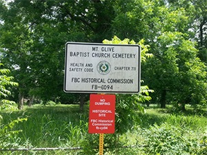
Main Name: Mt. Pilgrim Baptist Church Cemetery | FB-C095
Alternate Names:
- Baptist Cemetery
- Mt. Pilgrim Cemetery
Access: Public
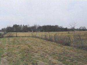
Location: FM 2759, Thompsons
NAD83 Coordinates: 29 29.888 N, 95 35.500 W
Map Coordinates: 29.498133, -95.591667
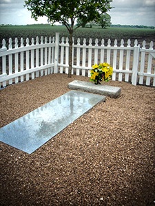
Status and Other Information: The cemetery status is active. The cemetery is affiliated with a religious organization and the ethnicity is primarily Afro-American. The size of the cemetery is 1.76 acres. The number of known burials is 99 and the date of the earliest burial is 06/06/1906.
View Mt. Pilgrim Baptist Church Cemetery | FB-C095 in a larger map