Photo Date: 2013
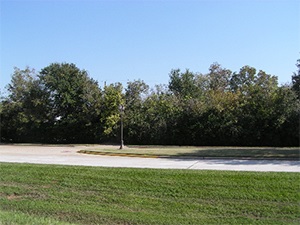
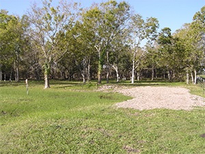
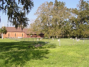
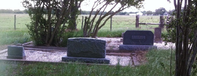
Main Name: Needville Baptist Church Cemetery | FB-C009
Alternate Names:
- Dipple Cemetery
- Fink Baptist Cemetery
- First Baptist Church Cemetery
- German Baptist Cemetery
- Maden Cemetery
- Maiden Cemetery
- Needville Baptist Cemetery
- Salem Baptist Cemetery
Access: Public
Location: FM-1236, Needville
NAD83 Coordinates: 29 23.130 N, 95 51.054 W
Map Coordinates: 29.385500, -95.850900
Status and Other Information: The cemetery status is active. The cemetery is affiliated with a religious organization and the ethnicity is primarily Anglo. The size of the cemetery is unknown. The number of known burials is 25 and the date of the earliest burial is 08/12/1899.
View Needville Baptist Church Cemetery - FB-C009 in a larger map