Photo Date: 2011
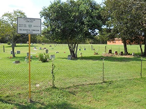
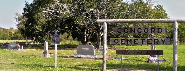
Main Name: Concord Cemetery | FB-C012
Alternate Name: Mennonite Cemetery
Access: Public
Location: Fairchilds Road, Fairchilds
NAD83 Coordinates: 29 26.715 N, 95 45.765 W
Map Coordinates: 29.445250, -95.762750
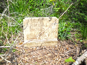
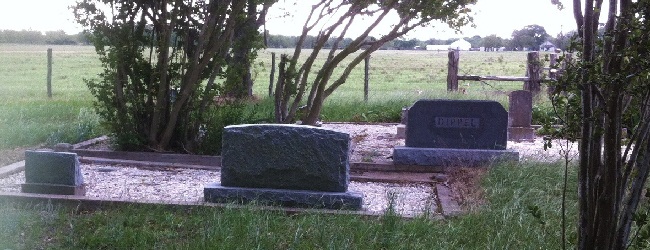
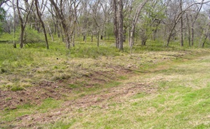
Status and Other Information: The cemetery status is inactive. The cemetery is not affiliated with any organizations and the ethnicity is primarily Afro-American. The size of the cemetery is 1.32 acres. The number of known burials is 24 and the date of the earliest burial is 02/01/1888.
View Concord Cemetery - FB-C012 in a larger map