Photos Taken Date: 2009
 |
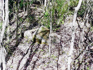 |
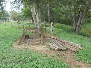
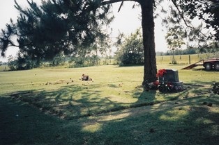
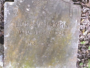
Main Name: Harris Family Cemetery | FB-C137
Alternate Names:
- Harris Grave, Lola V.
Access: Cemetery access is via PRIVATE property. Permission from the land owner MUST be obtained prior to visiting the cemetery.
Location: Near Long Point Creek and FB Toll Rd, Arcola
NAD83 Coordinates: Latitude: 29 31.508 N, 95 29.289W
Map Coordinates: 29.52514,-95.48815
Status and Other Information: The cemetery status is inactive. The cemetery is not affiliated with a religious organization and the ethnicity is primarily Afro-American. The size of the cemetery is unknown. The number of known burials is 4 and the date of the earliest burial is 01/15/1838.