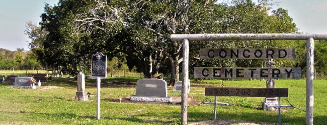
Main Name: Craven – Ellis Cemetery | FB-C058
Alternate Names:
- Stafford City Cemetery
- Stafford Colored Cemetery
Access: Public
Location: Stafford Road, Stafford
NAD83 Coordinates: 29 37.493 N, 95 33.110 W
Map Coordinates: 29.624883, -95.551833
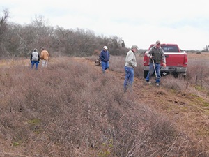
Status and Other Information: The cemetery status is active. The cemetery is not affiliated with any organizations and has no primary ethnicity. The size of the cemetery is 3.57 acres. The number of known burials is 176 and the date of the earliest burial is 1901.
View Craven – Ellis Cemetery - FB-C058 in a larger map