Photo Taken Date: 2017
Main Name: Imperial Farm Cemetery | FB-C121
Alternate Names:
- Central Unit Cemetery
- New Addition Cemetery
- Old Imperial Farm Cemetery
- State Prison Cemetery
- Sugar Land Cemetery
- TDJC Central Unit Cemetery
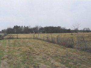
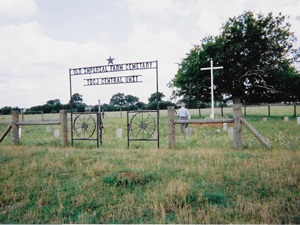
Access: Cemetery access is via PRIVATE property. Permission from the land owner MUST be obtained prior to visiting the cemetery.
Location: Near Hwy6 and SH-90A, Sugar Land
NAD83 Coordinates: 29 36.314 N, 95 39.440 W
Map Coordinates: 29.605233, -95.657333
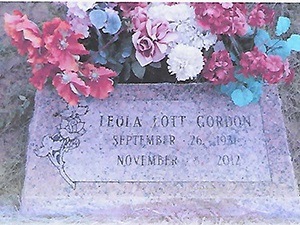
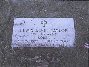
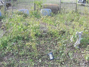
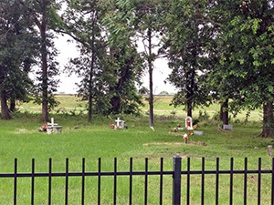
Status and Other Information: The cemetery status is inactive and it has a Historical Marker. The cemetery is not affiliated with any organizations and the ethnicity is mixed. The size of the cemetery is unknown. The number of known burials is 35 and the date of the earliest burial is 02/10/1912.
View Imperial Farm Cemetery | FB-C121 in a larger map