Photo Taken Date: 2012
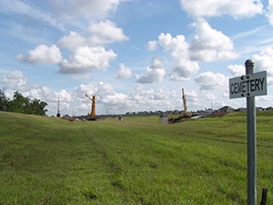
Main Name: Shipman, John M. Cemetery | FB-C131
Alternate Names:
- None
Access:There is public access to the cemetery.
Location: Thompson Ferry Rd, Missouri City
NAD83 Coordinates: Latitude: 29 31.633 N, Longitude: 95 33.750 W
Map Coordinates: 29.52722,-95.56250
Status and Other Information: The cemetery status is inactive. The cemetery is affiliated with a family organization and the ethnicity is primarily Anglo. The size of the cemetery is unknown. The number of burials is unknown and the date of the earliest burial is June 1860.