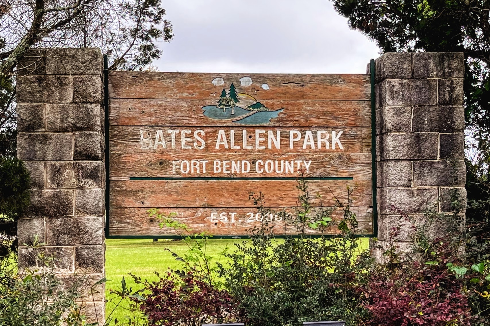
Park Information
Address: 630 Charlie Roberts Ln.,Kendleton, TX 77451
Acreage: 236 Acres
Amenities: Wetlands, two Pavilions (For rental information contact the Fort Bend County Fairgrounds Rental Office), walking trails, nature trails, play area, fishing pier, BBQ grills, lake, observation deck, canoe ramp, restroom, picnic tables, volleyball court, day camping, water fountains, historic sites, and orienteering.
Bates Allen Park is the home of the Fort Bend County Heritage Unlimited Museum.
Orienteering at Bates Allen Park
Welcome to the orienteering course at Bates Allen Park, Fort Bend County Parks and Recreation. The orienteering course at Bates Allen Park is fun and educational and will make your visit to the park more entertaining.
What is Orienteering?
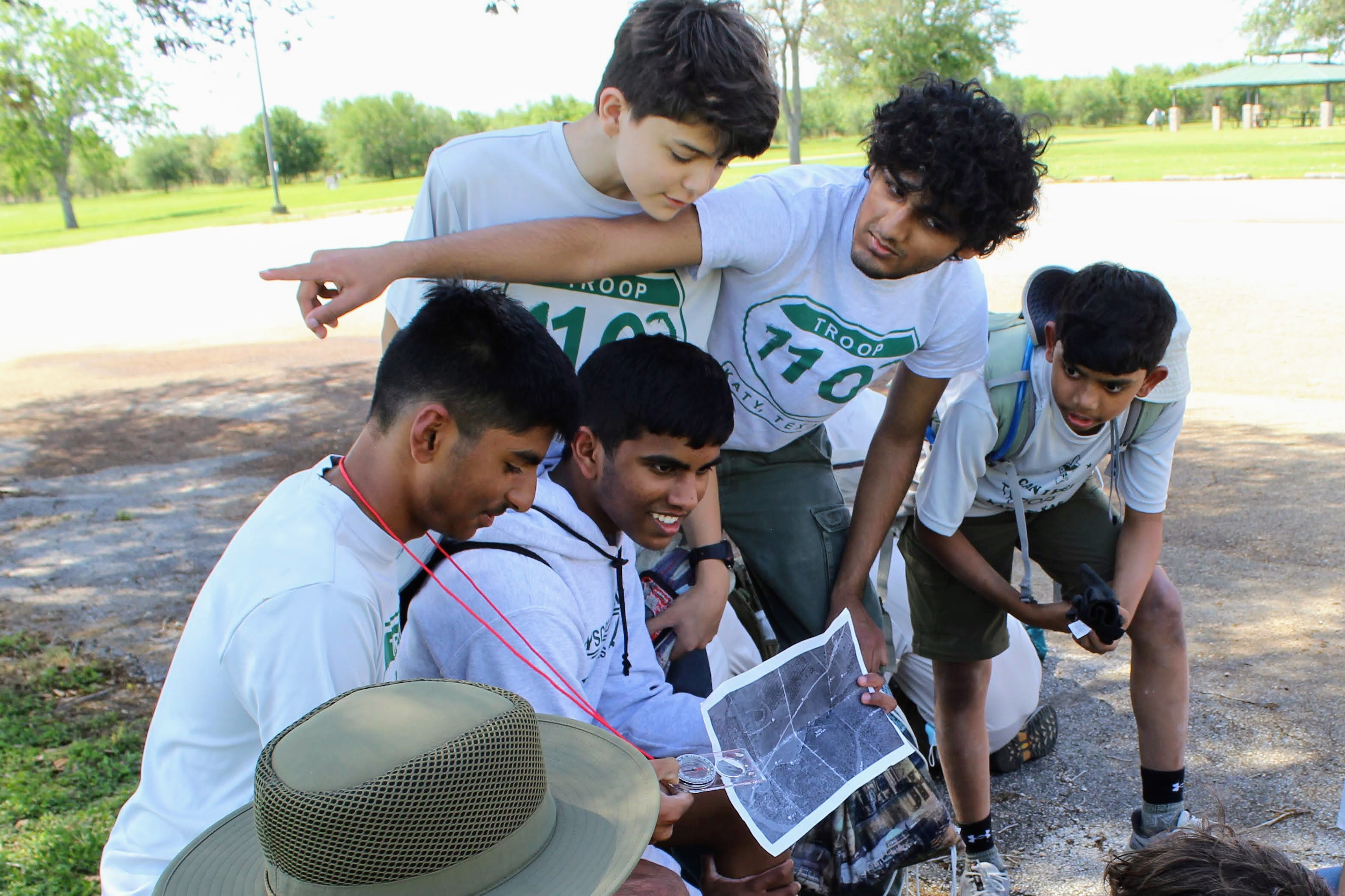
Orienteering is the sport of navigation that uses a map and a compass. Whether you’re an experienced hiker, competitive runner, boy scout, girl scout, a family, or a group out for an activity in the park, orienteering helps you improve your navigation skills and builds your map-reading, which can help explore a park with apparent structures to navigate remote terrain.
Orienteering at Bates Allen Park
The orienteering course at Bates Allen Park is a permanent course with markers attached to wooden posts, while also being available year-round and anytime during park hours.
The orienteering maps consist of a triangle, circles, and a double circle. The triangle is the start. The double circle is the finish. All the circles in between are control points. Numbered orange and white markers (on wooden posts) are placed in the terrain to help you reach the correct location. At each control point, you will note a few details asked on each course's control description sheet. Follow the route suggested in the course documents. After completing the course, you will be able to decode the passcode.
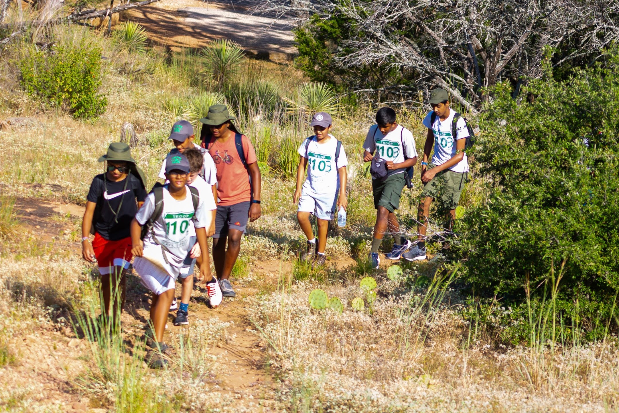
The orienteering courses at Bates Allen are ready for beginner-to-intermediate level cross-country orienteers and competitions. A typical orienteering race is where runners find a number of control points in a specific order before reaching the finish line. The winner is the person or team who completes the course fastest. At the same time, you do not need to run to complete this course.
BSA (Boy Scouts of America) rank requirements:
The orienteering courses at Bates Allen Park provides an opportunity for BSA scouts to complete some of the rank requirements for first class and the orienteering merit badge. The following are examples.
First Class rank requirements:
Requirement #4a. Using a map and compass, complete an orienteering course that covers at least one mile and requires measuring the height and/ or width of designated items (tree, tower, canyon, ditch, etc.).
Requirement #4b. Demonstrate how to use a handheld GPS unit, GPS app on a smartphone, or other electronic navigation system. Use GPS to find your current location, a destination of your choice, and the route you will take to get there. Follow that route to arrive at your destination.
Orienteering Merit Badge requirement/s:
Requirement #7. Do the following:
- Take part in three orienteering events. One of these must be a cross-country course.
- After each event, write a report with (1) a copy of the master map and control description sheet, (2) a copy of the route you took on the course, (3) a discussion of how you could improve your time between control points, and (4) a list of your major weaknesses on this course. Describe what you could do to improve.
To choose the course with the appropriate difficulty level, discuss these options with your troop’s Scoutmaster/unit leaders.
Course description
There are 3 versions of the orienteering course at the Bates Allen Park, all covering 1.6 miles. Each course provides a map and a control description sheet. The participants visit each of the control points and note down a verification code to decode the passcode, a 3 word phrase, confirming that they visited all control points in the course. The participants will be able to identify the pass code once they complete the course.
As mentioned above, these courses are designed for all outdoors enthusiasts including hikers, joggers, boy scouts, girl scouts, families, or groups.
-
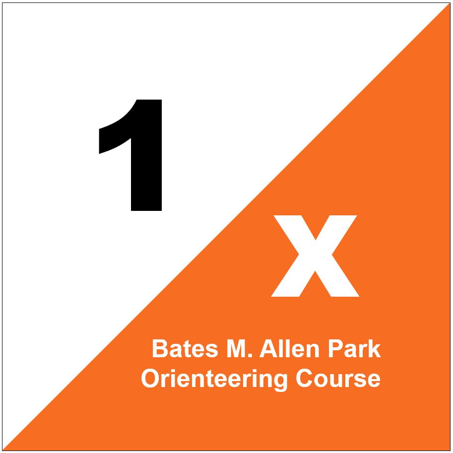
Bates Allen Park, Orienteering Course #1
- [PDF]
- Difficulty level: Easy - Medium
- Required resources: Map and a compass.
- BSA rank requirements: Covers First Class rank requirement #4a. Check with your unit leader for options.
- Most of the orienteering data (Bearing, distance between control points, and direction) is pre-populated in this course. These details help beginners to develop and sharpen their map reading, use of a compass, and pacing skills.
-
Bates Allen Park, Orienteering Course #2
- [PDF]
- Difficulty level: Medium - Hard
- Required resources: Map and a compass.
- BSA rank requirements: Recommended course to complete First Class rank requirement #4a. Check with your unit leader for options.
- This course follows the general guidelines provided by the International Orienteering Federation, Orienteering USA, Boy Scouts of America, and the BSA Orienteering Merit badge pamphlet. The control description sheet is populated with pictorial symbols. The participants will record the bearing and the distance from point to point.
-
Bates Allen Park, Orienteering Course #3
- [PDF]
- Difficulty level: Easy-Medium
- Required resources: Map and a GPS, or Data enabled smartphone (with GPS apps such as apple maps, google maps etc.).
- BSA rank requirements: Covers First Class rank requirement #4b.
- This course allows using a GPS to find the control points and sharpen GPS skills in a recreational setting.
Etiquette/Rules/Safety
Get an orienteering map of Bates Allen Park and a compass to start your adventure. Respect the park rules and be considerate of others. While the park is safe for hiking, you should take all precautions. Wear season-appropriate clothing, hiking/sturdy shoes, and carry drinking water. Be prepared to encounter wildlife such as snakes, spiders, bugs, etc. While all precautions have been taken to provide accurate details, the map and descriptions may contain some errors. Follow the park’s official hours. During the rainy season, some parts of the park may get flooded, be cautious and plan your orienteering adventure accordingly.